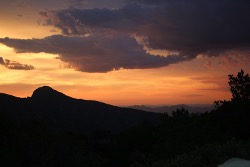
Cool Days, Beautiful Views & a Monsoon or Two
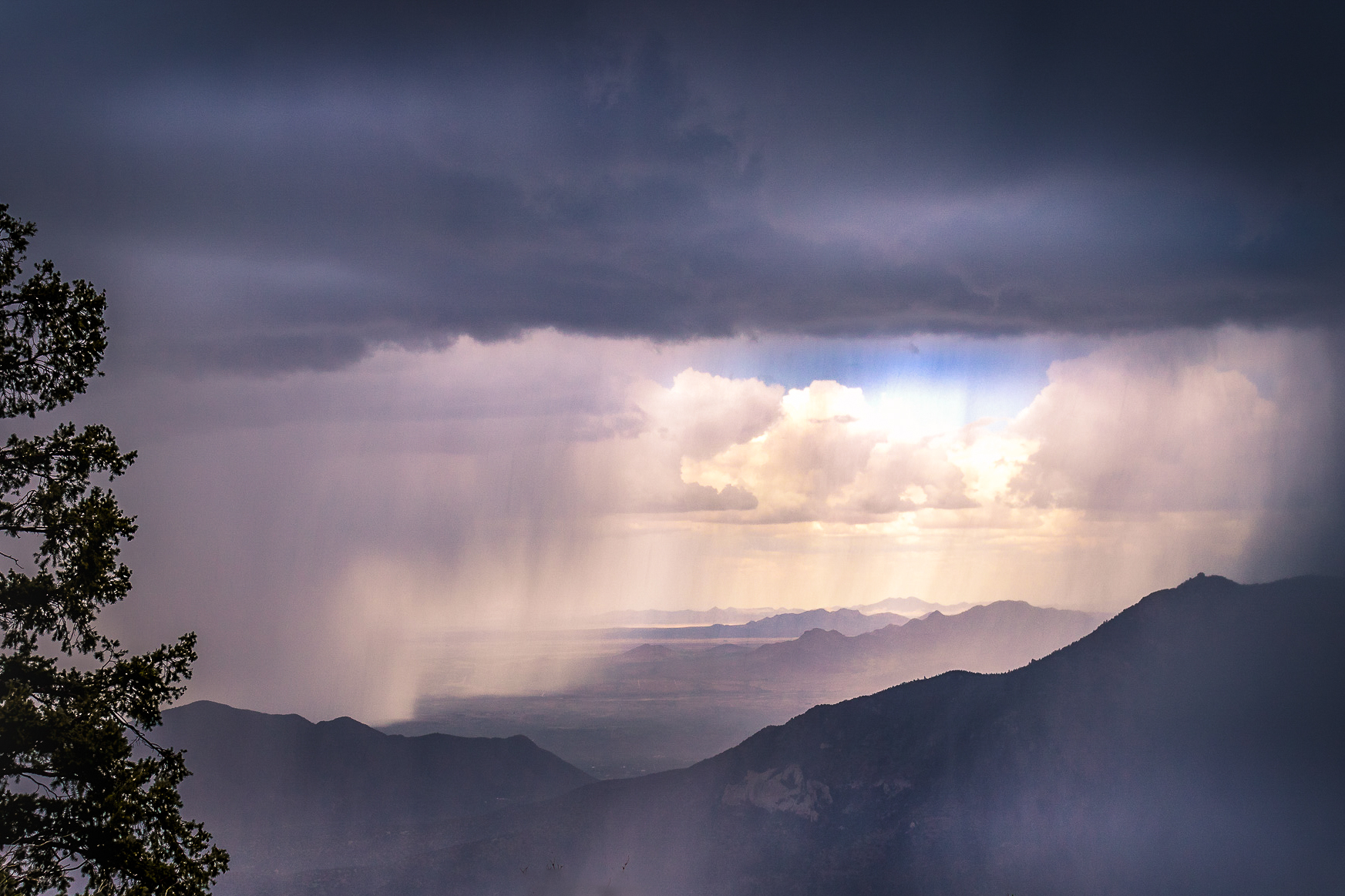
If you’re looking to skip the crowds of Arizona’s more popular destinations and experience wide-open landscapes, Southeast Arizona hiking offers a quieter, equally stunning alternative. Known for its mild summer temperatures (often staying under 100°F), crisp winter days, and the occasional dramatic monsoon storm, this region is a year-round destination for outdoor enthusiasts.
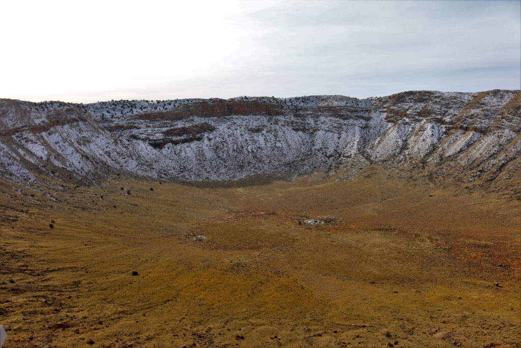
With endless blue skies and mountain ranges rising above 8,000 feet, Southeast Arizona delivers some of the best hiking trails in the state. From shaded canyon paths to panoramic ridge hikes, the variety of terrain makes it perfect for both casual walkers and experienced hikers.
One of the best places to base your trip is Sierra Vista, Arizona. Conveniently located near several top hiking areas, Sierra Vista provides easy access to scenic trails, wildlife viewing, and diverse ecosystems—all within a short drive.
Whether you’re chasing cooler temperatures, sweeping desert views, or peaceful trails away from the crowds, hiking in Southeast Arizona offers a unique and unforgettable experience.
Ramsey Canyon
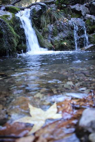
One of my favorite places to hike is Ramsey Canyon in Sierra Vista. The Canyon starts at the Nature Conservancy’s Ramsey Canyon Preserve. The area is home to more than 170 species of birds and birders from all over the world come to watch, take tours and photograph the flying feathers. I love the hummingbirds who visit the feeders located within the preserve. The canyon follows a river that flows most of the year. Depending upon your level of expertise, you can just walk the short trail loop trail or if you want something more challenging, take the Hamburg Trail. The trail starts at 5,550 feet in elevation so be aware you may get winded more easily. From there you climb in elevation. At the overlook, you’ll see expansive views at 6,390 feet. It’s only a mile but it’s a mile up. If you drop back down the backside, you’ll experience a beautiful canyon with pine and oak trees and the river becomes even more beautiful. I’ve taken this route back down the Brown Canyon Trail where it flattens out to grassy prairies and then walked back up the road. The total is about 8 miles. Make sure you take plenty of water as the altitude will also dehydrate you.
The parking lot at the Conservancy is small so get there early. Also, there is a small fee to enter and hours in the parking lot are limited depending upon the time of year. The trailhead can be found at 27 E. Ramsey Canyon Road, Hereford, AZ 85615
Brown Canyon
If it’s cool out or threatening to storm, you might want to visit Brown Canyon Ranch. It’s off of Ramsey Canyon Road.
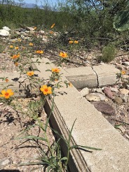
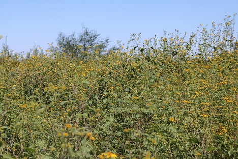
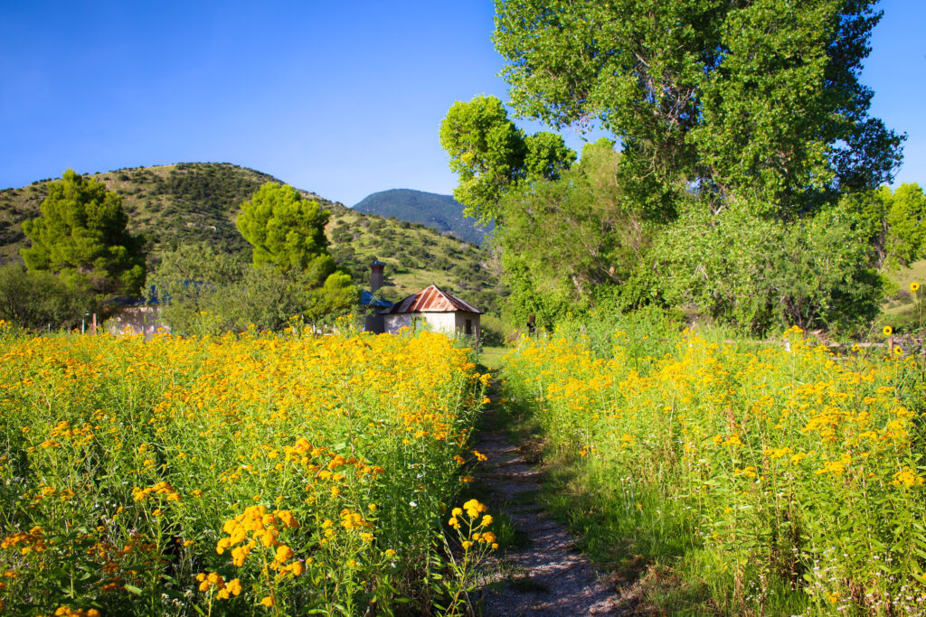
The Ranch is an old house that is now used as an interpretative center. It offers two loop trails. The lower loop is 2.6/3 miles and the upper loop is 2.2 miles. Both of these are pretty flat. You’ll see the grassy plains, rolling hill and if it’s lowered, the aerostat at Fort Huachuca, is a huge blimp used to monitor air traffic on both sides of the border. In the spring and early summer, you may see wild daisies.
Carr Canyon
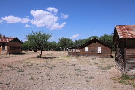
Carr Canyon offers a variety of hiking trails. The Carr House and Nature Center provides free maps of the area. On one trail the elevation changes from 4,875’ to more than 7,400’ at the Ramsey Vista Campground. During the monsoons, generally between July and September, there is a huge waterfall flowing down the cliff. There are loop trails that are as short as .5 miles. Carr Canyon offers a picnic area and the Carr Ruins are interesting to look at.
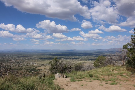
Coronado National Monument
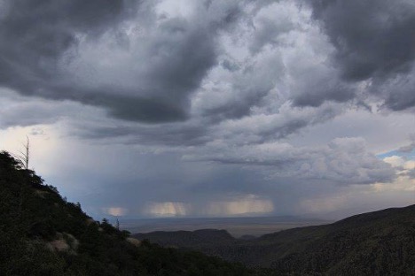
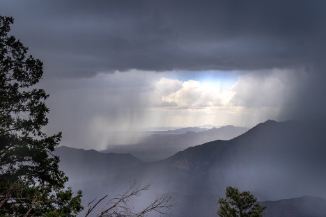
Southeast Arizona also hosts the Coronado National Monument, home to several hiking trails. If you’re into driving, the views along the Montezuma Canyon Road can’t be beat. From up here, you can see for miles into Arizona and Mexico. We love to just pull off the road and open the tailgate for a picnic. If there are monsoons, you can just sit here and watch them blow across the valley. There are a number of campsites located in the Monument. One of these, off Parker Canyon Road skirts the lake. More suggestions follow in Part II.