Exploring Athens is like stepping into a living museum filled with ancient history, iconic landmarks, and vibrant local culture. From the world-famous Acropolis to the birthplace of the marathon in Marathon, this city offers an unforgettable mix of historic sites, scenic views, and authentic Greek experiences. Along the way, you’ll discover incredible food, welcoming locals, and stories that bring Greece’s rich past to life—sometimes with a few memorable characters (like our many “Georges”) guiding the journey. Whether it’s your first visit or a return trip, Athens is a destination that blends history, culture, and adventure at every turn.
So far our trip has been the trip of George’s. I’m beginning to think that either everyone in Athens is called George or it’s a common way to refer to the male species??? Who knows? Either way, I’ve just adopted the way of calling everyone George and so far they have all responded. Smile.
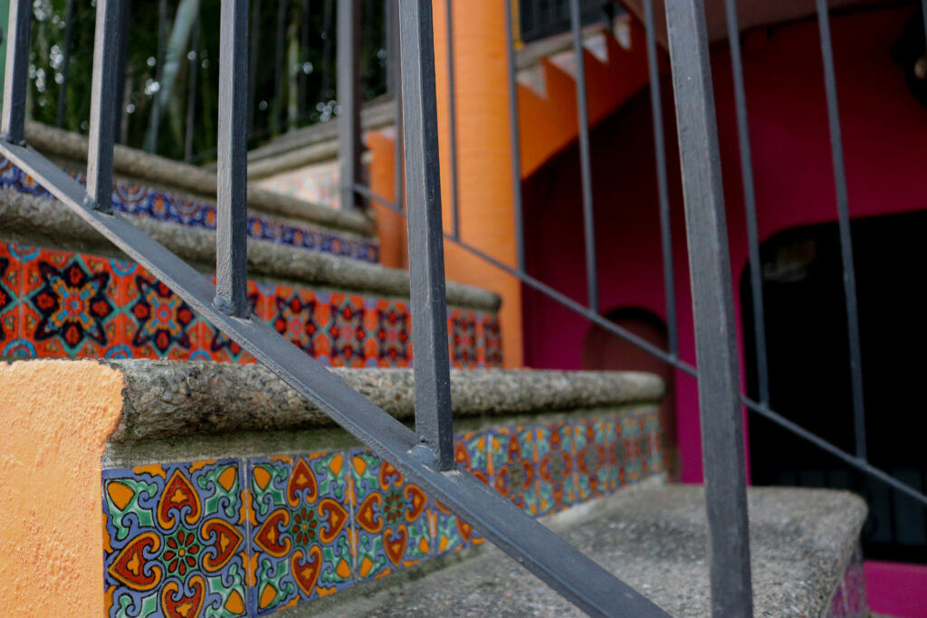
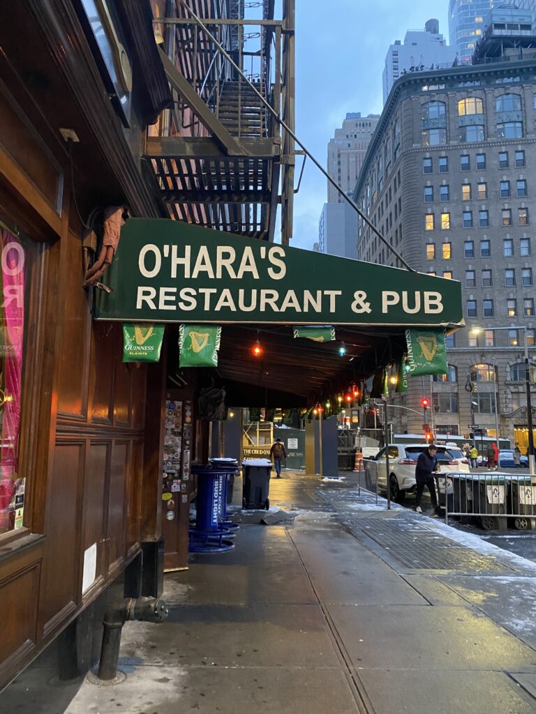
Our first George was our taxi driver who took us from the airport to the Hilton. We used Hilton points for the hotel. It’s one of the top rated hotels in Athens and centrally located. The Galaxy Restaurant and Bar on the roof offers a terrific view of the Acropolis. We had dinner there our first night. The food was good along with the service and easy to stumble back to our room after dinner but I liked the food along the old market area at the cafes much better and they were a lot less expensive.
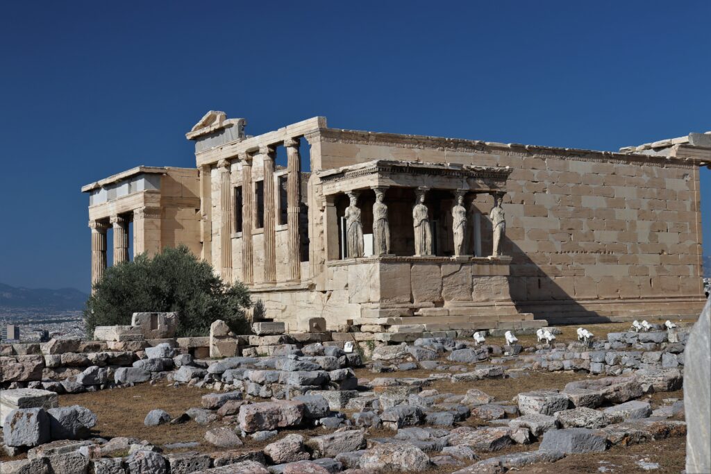
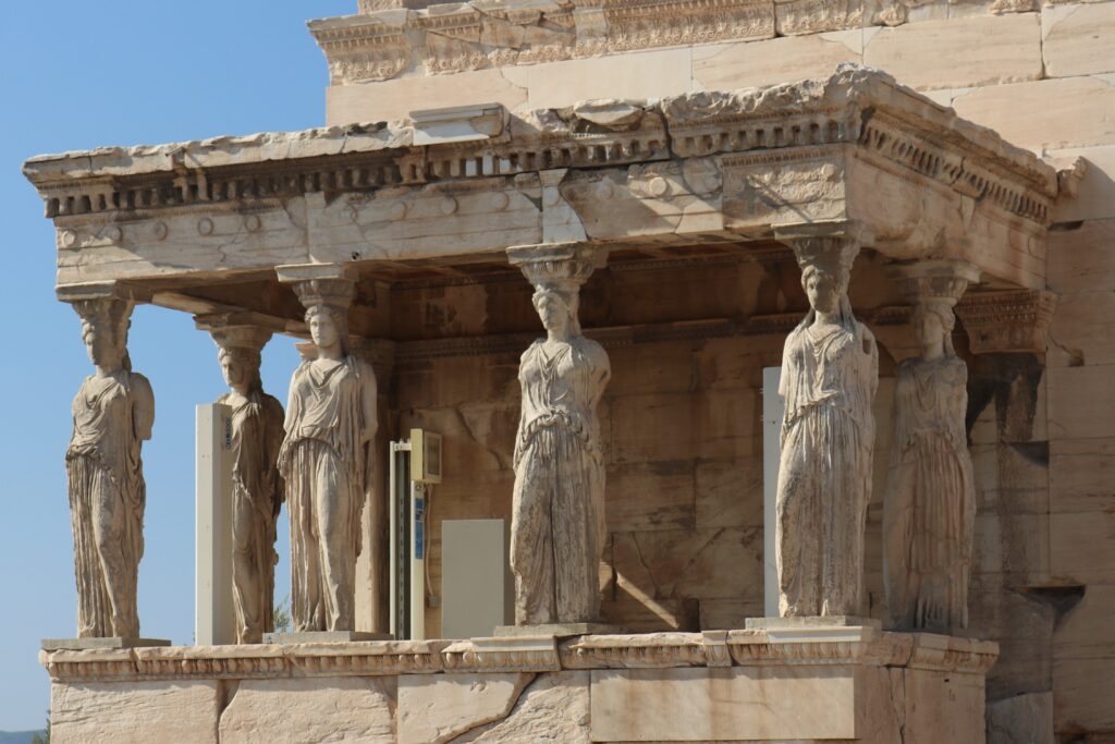
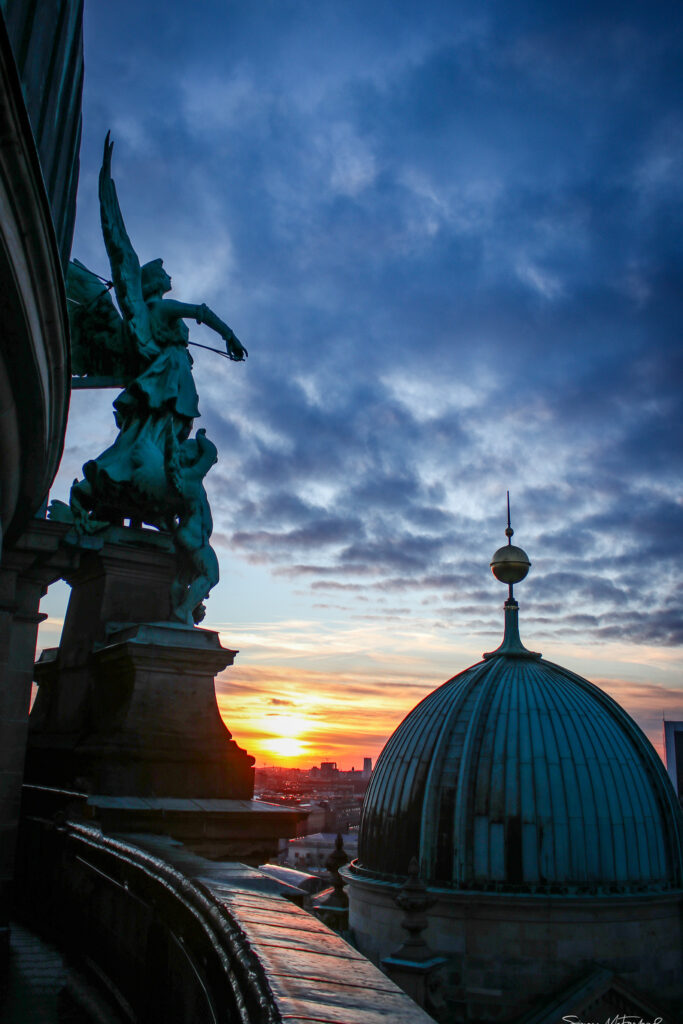
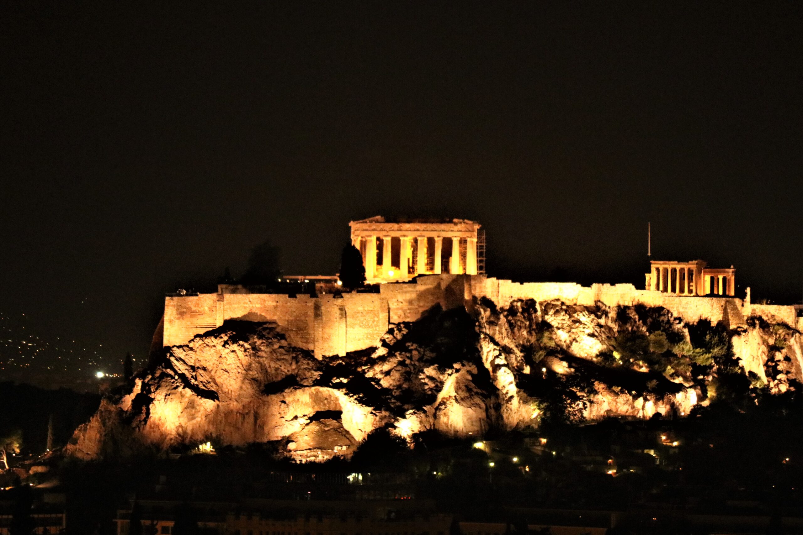
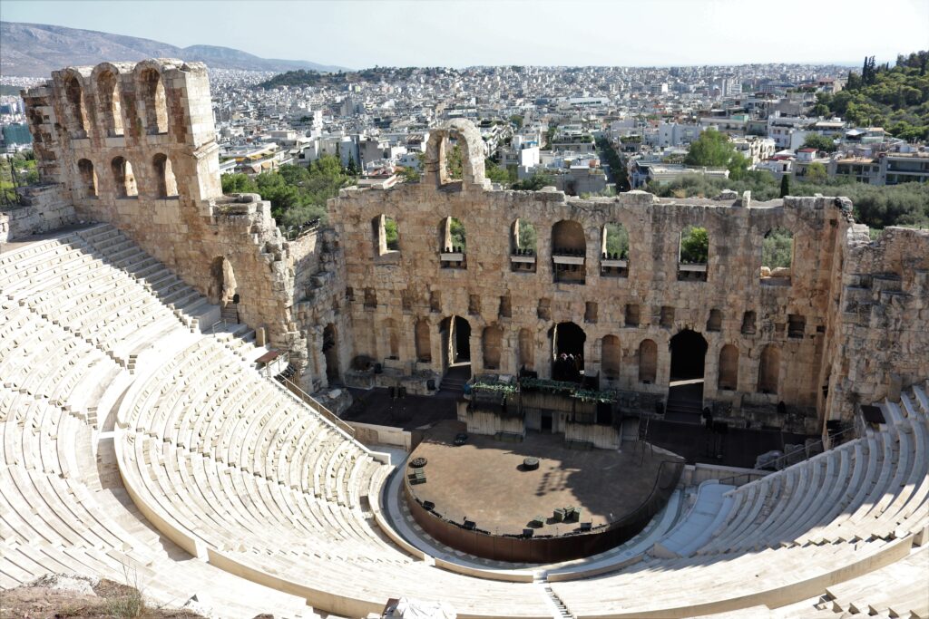
The Acropolis is actually made up of a few buildings. The Propylaea which is the gateway into the Acropolis itself. The Parthenon, the Temple of Athena Nike, my favorite, and the Erechtheion. These were all built between 495-429 B.C. The Theater of Dindionysus, God of wine and plays, is also located near the grounds. It’s a 17,000 seat amphitheater. The day we went, it was blooming hot even though it was early September. The Athens’ sun will just wear you out. I’m sure I was on the verge of heat stroke but The Temple of Athena Nike has been on my bucketlist since I was a little kid, so we had to make it up the arduous hill.
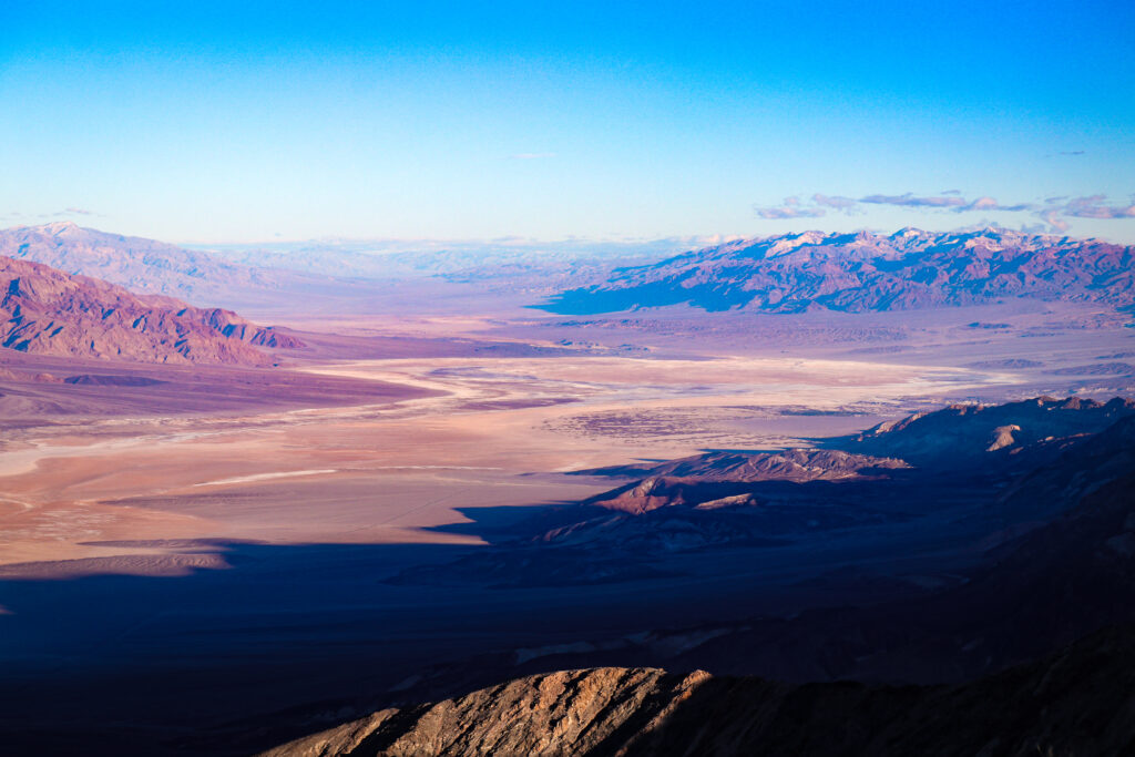
At the top, you have a gorgeous view of the city below. The word Acropolis means the city at the top or highest point and there are many acropolis but the one in Athens is often called, “The Acropolis.”
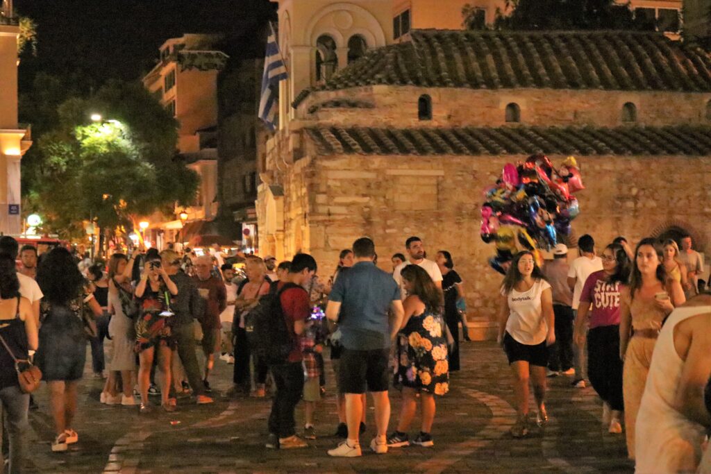
While we were in the area, we had lunch at The Greco Project restaurant off the plaza’s square in the Monastiraki market. Our waiter’s name was George #2. The tzatziki was amazing along with the meatballs and the live Greek music just added to the ambiance. While we only had appetizers, this was my favorite restaurant and our favorite tzatziki of the trip.
To take advantage of our very limited time here in Athens, I booked a driver though Enjoy Greek Tours. Our guide’s name was also George (#3). Somehow his nane was easy to remember. George was very knowledgeable and willing to share his ideas and thoughts. He told us, “You’re American’s so you’ll have lots of questions, what do you want to know?” This opened the door for us to pepper him with questions on anything from politics to religion, history and where is the best view in Athens. He didn’t mind in the least.
George picked us up at 8:30 from the hotel and in an effort to miss the traffic and since we’d already seen the Acropolis, we went in reverse, starting with traveling to Marathon. Along the way, we drove through the fire ravaged area. It was sad to see so many houses burned and at least 74 perished in the fire storm as they tried to escape.
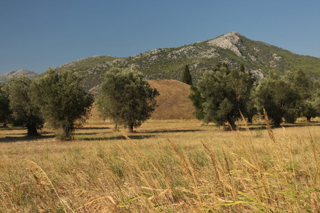
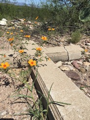
Marathon is a little more than an hour away and actually the home of the first marathon. The distance From Marathon to Athens is 26.2 miles and the Greek Pheidippides, a messenger, announced that the Persians had been defeated during the Battle of Marathon in 490 BC. It is said that Pheidippides ran the entire distance (26.2 miles) without stopping and burst into what is now the Coliseum area exclaiming “we have won!” before collapsing and dying. Meanwhile, the dead Athenians were burned in the funeral pyres and their ashes form piled a large mound. The site now is covered with olive trees. The price to enter was 6€ and I believe if you show your ticket, you may be able to get into other locations listed below.
Today, the Marathon from Marathon to Athens is one of the most popular in the world. Within Athens is a very cool glass plate sculpture of a marathon runner. It was placed there to spur on the marathon runners as the get close to the end of the race.
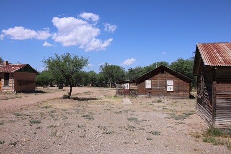
After this we visited the Archaeological Museum of Marathon. This is a really small museum with some nice Egyptian statues that have been found in the area. My thoughts were that we really haven’t evolved much in our craftsmanship with marble. The details that the included slightly before and after Christ was born are not truly more detailed but where something might have taken a lifetime to carve probably now takes a few weeks.
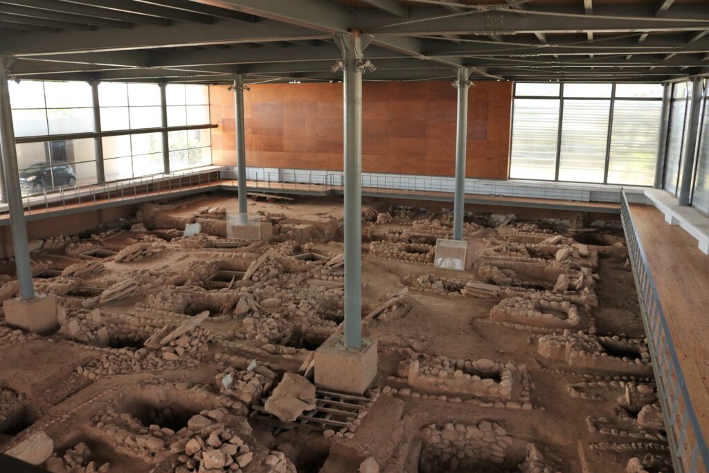
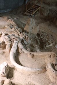
Afterwards George #3 told us the following story. One day, an old man decided to dig a new well and low and behold, he finds an old cemetery. Instead of covering it up, he contacts the authorities and finds that it’s an early Helladic Cemetery dating back to 3200-2100 BC. It’s now a museum where they are still excavation old bones and you can visit it. The location is pretty much in the middle of nowhere.
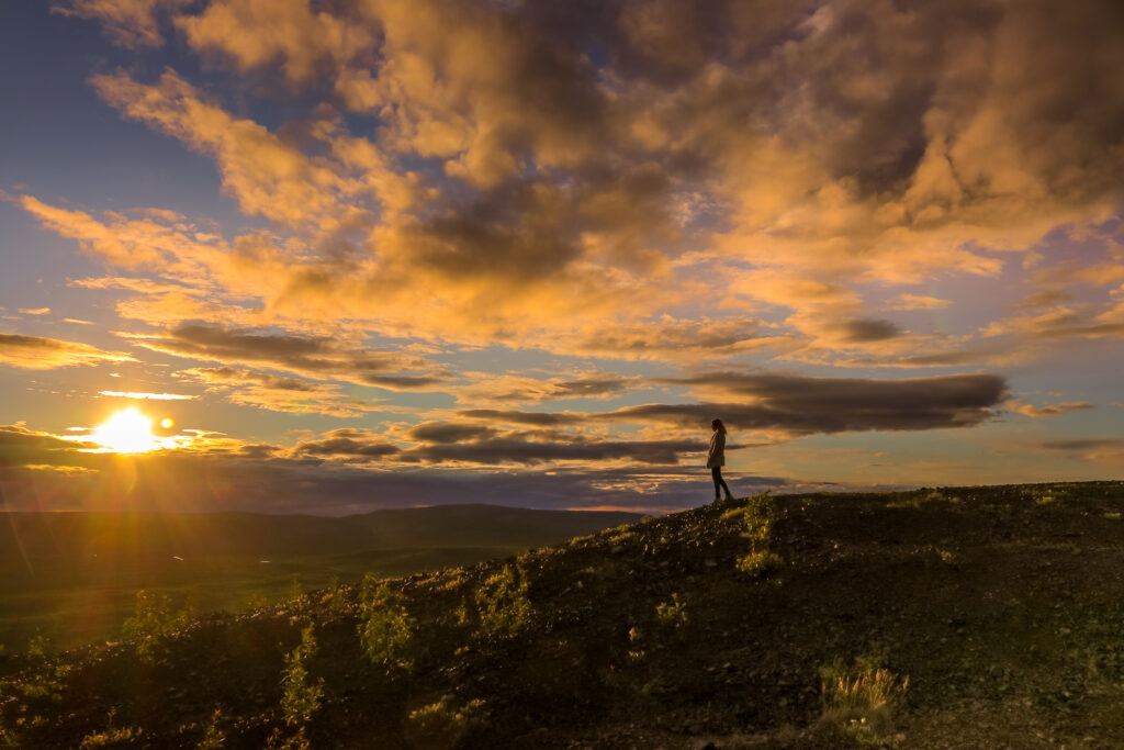
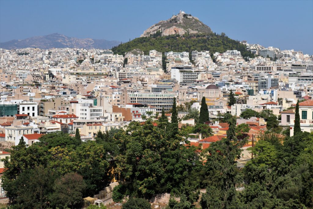
Back in The City, we traveled to Mount Lykavittos, the highest hill in Athens to get a 360 degree view of the more than 5 million people who live here. There is actually a cable car that you can take to the top of the hill and then walk down. Almost half of the entire population of Greece lives in Athens.
We also visited three beautiful buildings that unfortunately were closed but still worth the walk around, the Academy of Athens, the Deanery University and my personal favorite, the National Library of Greece. I can just see Cinderella running down these step, losing her slipper.
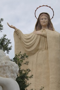
A quick stop to peek inside The Church of Saint Dionysius, the Areopagite, and we were off to the Acropolis Museum for a bite to eat and more sculptures that have been excavated from the site. The food at the Acropolis Museum was just so so. I would go to one of the smaller cafes.
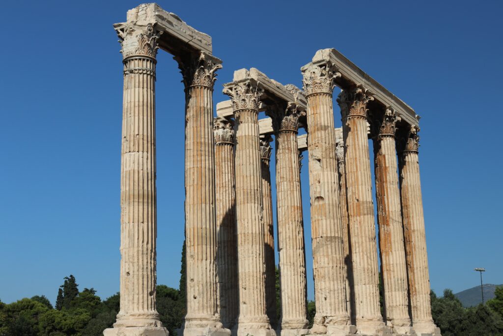
Our last stops included the Monastiraki market, which we went back at night to eat and do some shopping and the Temple of Hephaestus. This was actually another one of my favorite places. It’s beautiful, pretty much intact and wasn’t as crowded as some of the other locations. Exhausted, we had a quick visit to The Temple Olympian Zeus, a ruin with columns that tower more than 75 meters in the air. Some quick photos and then back to the hotel for a nap before dinner.
All in all, Athens is loaded with history, stories of the Gods, fabulous cafes and terrific people. I wish I would have studied the history more along with reading about some of the Greek Gods before we visited. I think this would have enhanced the experience.
Give me a lever long enough and a fulcrum on which to place it, and I shall move the world.
-Archimedes
Helpful hints:
- Check the weather and if it’s warm don’t go out without water. You can purchase a large bottle for one euro.
- Take or buy a hat. Cute ones are easily found.
- Don’t engage with the Ethiopian men by the Acropolis unless you want to buy a bracelet. Same thing with the girls selling roses. They are not free no matter what they tell you.
- Wear comfortable shoes. Many of the streets are made of cobble stones and you’ll do a lot of walking. This is the same all over Greece.
- All of the attractions and ruins are spread out so you’ll need a car, use a lot of taxis or hire a driver.
- If you’re on a budget, there is an underground (subway). It’s all in Greek and a little bit of a challenge to find the right train. Not all of the ticket machines take credit cards.
- You can buy tickets for each of the attractions but if you’re seeing a few, the better deal is to pay the $30 that will get you into most places in Athens. You can purchase them from the first place you visit.
- In Greece, the restaurants won’t bring you your check until you ask.
- Lastly, if you are tipping in a restaurant, it’s better to tip in cash because some managers will not pass it on to the employee.
- Many of the Greek people we meet were the extremely friendly. They are gracious, willing to go out of their way to help, and love to talk about everything and anything so immerse yourself in the culture and have fun!